
Clackamas County Neighbors by Parcel
A block-level search separates map context from people information. CMap shows parcel outlines, streets, jurisdiction, districts, services, hazards, and documents around a selected address. It does not show owner names online. Assessment & Taxation is the County’s stated route for owner information after the taxlot or parcel is identified. Recording can then establish formal parties and a legal-description relationship for a particular parcel. Elections and civic contacts follow still different rules. That distinction keeps the block research grounded in what each custodian actually maintains.
| Block source | What it contributes | Clackamas County access limit |
|---|---|---|
| CMap parcel display | Nearby parcel geometry, street relationship, jurisdiction, districts, services, hazards, tax maps, and surveys | Free map, but no owner names, no household roster, and no survey-quality boundary line. |
| Assessment & Taxation | Official owner-information contact route and property-tax context tied to a parcel | Use 503-655-8671, propertytaxinfo@clackamas.us, or the counter; confirm mailing and situs distinctions with the office. |
| Recording Division | Recorded parties, instruments, legal descriptions, plats, and title relationships | Public research-and-copying area; a formal property party is not proof of who is present at an address. |
| Election records | Precinct context and statutory voter-list fields | My Vote is personal; protected voters are excluded and list access follows the state or County request path. |
| Community Planning Organizations | Unincorporated-area boundary, meeting, board, bylaw, and land-use context | CPOs are civic contacts, not resident or membership rosters. |
| City permit systems | Project or development context for a mapped address inside a municipality | Use only after CMap identifies the jurisdiction; an applicant is not necessarily an owner or resident. |
Official property records may indicate an owner or a recorded party. They do not establish every person connected with a home, nor do they settle a boundary question. Treat the address, the taxlot, and the office response as separate facts. That is more accurate for block research and less likely to confuse a public map layer with a personal directory.
CMap for Clackamas County Neighbors
CMap is the first official map tool for the immediate block. Its search menu accepts Address, City, Parcel Number, Street Intersection, and Taxlot Number. Begin with the seed address, select the typeahead result, then pan or zoom to the parcel outlines next to it. The selected result groups Assessment, Schools, Public Safety, Zoning & Development, Voting, Utilities & Districts, Environmental & Hazards, Parks, and Documents. These groups describe the public context of a block, not the identities of people at the address.
| CMap search mode | Verified use |
|---|---|
| Address | Default autocomplete mode; partial address typing returns suggested matches. |
| Parcel Number | Also called an account number; it has eight digits and leading zeroes matter. |
| Street Intersection | Use an intersection such as Kenny St & Lakeview Blvd, adding a jurisdiction when refinement is needed. |
| Taxlot Number | Use map number and lot number without display dashes, following County examples. |
CMap also has Layers, Legend, Locate, zoom controls, aerial imagery, and a taxlot mode. Record the standardized address and parcel identifier before calling Assessment & Taxation. The County’s public-policy limit is central here: the online map deliberately omits owner names. The office contact, not a click on a parcel, is the owner-information route.
CPO Contacts for Clackamas Neighbors
For an unincorporated address, the County’s Community Planning Organizations page is the official community-directory layer. CPOs use a boundary map and list to organize land-use and permit participation. They meet at least twice yearly and retain minutes, bylaws, and board information. These materials can help someone understand which civic body discusses the block. They do not identify every neighbor, create a membership list, or replace parcel records.
Community Planning Organizations
Coverage: Unincorporated Clackamas County areas only.
Useful records: Boundary map, meeting information, minutes, bylaws, boards, and land-use context.
Mapped City Jurisdiction
Coverage: Addresses shown in an incorporated city through CMap’s Jurisdiction group.
Useful records: The responsible city’s own community, planning, or permit channels after jurisdiction is confirmed.
No verified Countywide membership directory or neighborhood roster was found. That absence matters. For an incorporated address, identify the city first and then use that municipality’s record channel only if its official information applies to the location.
Voter Boundaries for Clackamas Neighbors
Voter records offer a narrow public-record route, not a live map of nearby people. CMap can show voting precinct and district context for an address. Oregon My Vote lets a voter check or update that voter’s own registration using personal information and is not public street browsing. A lawful voter-list request is a different process. ORS 247.948 describes public fields subject to exclusions, while protected addresses, Address Confidentiality Program participants, full birth date, Social Security number, driver-license number, and signatures remain protected.
The state voter-list request page covers electronic statewide or less-than-statewide lists. Clackamas County Elections is the local route for hardcopy, labels, and other non-electronic County products. Its order form identifies particular outputs, including a precinct walking list and a registered-voter list, with geography, precinct or party selections, delivery choice, and a statutory-use agreement. County processing and protected-record limits still apply.
Precinct context can help distinguish one Clackamas County block from another. It cannot establish an entire household, reveal ballot choices, or override a safety exemption.
Clackamas Neighbor Maps Are Not Surveys
Parcel lines on CMap are useful for orienting a block, yet the County explicitly says they are not survey quality. Use the Surveyor at 503-742-4475 or a licensed land surveyor for a boundary question. CMap can also show recent aerial imagery, but County help says its online photography does not reach earlier than 2008. Map position, building data, districts, and layers are all context. They do not establish title, a legal boundary, or the presence of individual neighbors.
| Official source | Broad commercial neighbor tool |
|---|---|
| Shows a specific record type from the responsible custodian, with stated limits and a correction route. | May combine mixed information with unknown timing or source context. |
| CMap supplies free parcel and district context, while Assessment & Taxation supplies the official owner-information route. | Cannot replace a custodian response, legal description, or review of an original public record. |
| Protected records and omissions remain protected. | Older or incomplete entries should not be treated as proof about a current block. |
This difference is practical. Block research should retain the parcel identifier, source URL, and date, then verify any important result with the office that holds it. Map convenience does not turn a visual boundary into a legal one.
Clackamas County Neighbor Jurisdiction
Clackamas County includes incorporated cities and unincorporated areas, so the postal city on an address does not always identify the responsible government office. CMap’s Jurisdiction result group is the first check. County Planning administers zoning and land-use matters in unincorporated areas. For a mapped address inside a city, transfer to that city’s permit or planning system. Oregon City, West Linn, Milwaukie, Happy Valley, and other cities have different access conditions and historical coverage.
For an unincorporated location, the County’s Accela portal has Building, Code Enforcement, Engineering, Planning, and Septic categories for records after January 1, 2016. The older Document Retriever searches Permit #, Address, or Taxlot and returns Permit #, Address, Taxlot, Applicant, and Actions. A permit record adds project context. It does not prove a person lives at the address.
Note: An address with a Canby postal label can still be in unincorporated County jurisdiction, so confirm jurisdiction before choosing a city record route.
Map a Clackamas County Neighbor Block
The County’s adjacent-parcel method is visual and bounded. It starts with one verified address and only then moves outward to the parcels immediately around it. The goal is to collect map and custodian identifiers, not to create a list of people. Keep the parcel context separate from an owner-information response and from a recorded instrument. That preserves the distinctions needed for a reliable Clackamas County neighbors search.
- Search the seed address in CMap and select the suggested result. Record the normalized address, jurisdiction, taxlot or parcel context, and any relevant map layer.
- Pan or zoom to the adjoining parcel outlines. Click nearby selections only to capture their mapped taxlot, address, public districts, and document context.
- Contact Assessment & Taxation with the parcel identifier when a lawful owner-information question remains. Confirm what the office’s response does and does not identify.
- Use the Recording Division research area for a formal party, legal description, or instrument question. Compare the legal description before linking similar addresses.
- When the question expands beyond the immediate block, use the Clackamas County street directory for the full address-record chain.
County map layers can also show zoning, voting, utilities, public safety, hazards, parks, and documents. These facts help explain the block’s setting, but none of them alone identifies every Clackamas County neighbor.
Privacy Limits for Clackamas Neighbors
Oregon law protects information that should not be turned into a block roster. ORS 192.368 creates a safety-based process for withholding home address, personal telephone number, and personal email from public disclosure. The Oregon Department of Justice Address Confidentiality Program protects qualifying participants through a substitute mailing address. Voter protections exclude confidential records and certain identifying fields. Court restrictions and vital-record eligibility rules apply separately. An omission from CMap or a public list may be intentional.
The Clackamas County Sheriff adults-in-custody page is an official custody-information route, not a directory for Clackamas County neighbors.
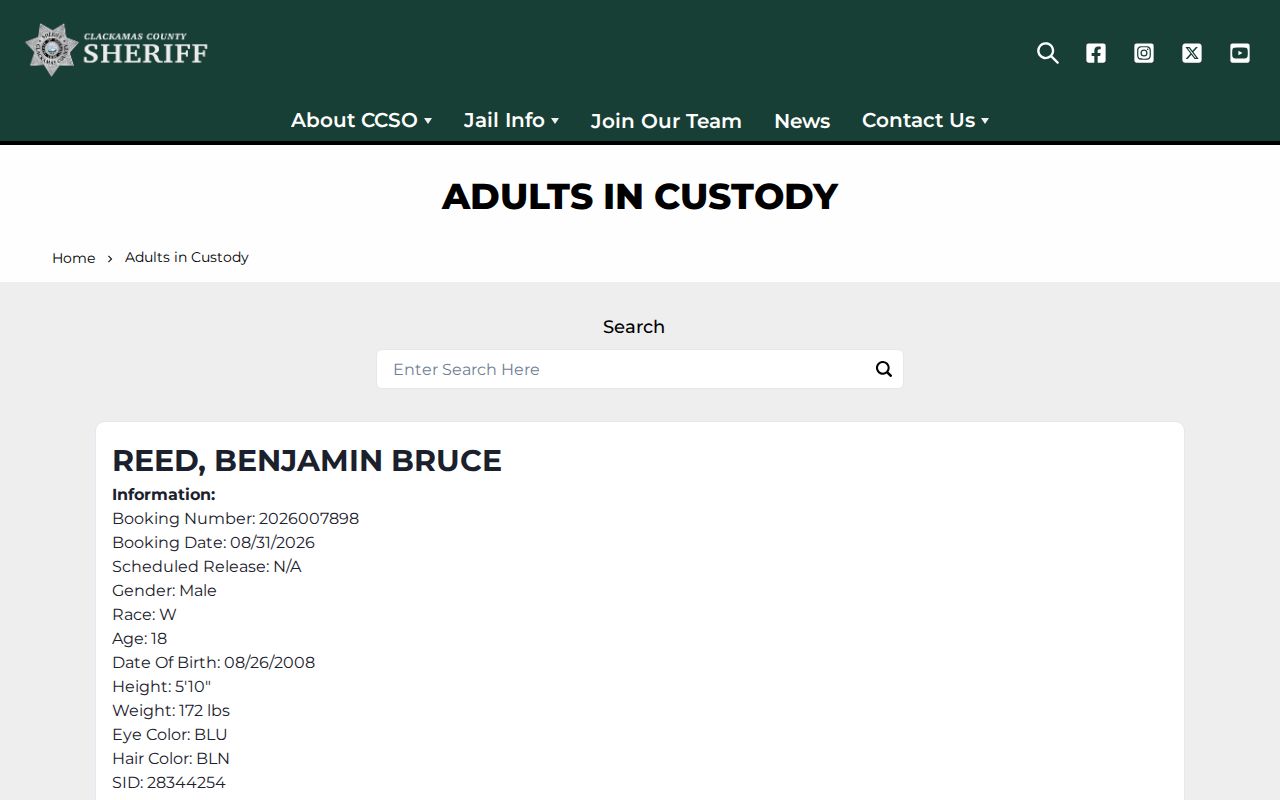
A custody status does not establish someone’s current address, the people on a block, or a personal relationship.
The Sheriff’s official warrant lookup interface is similarly limited to its own public-safety record question.
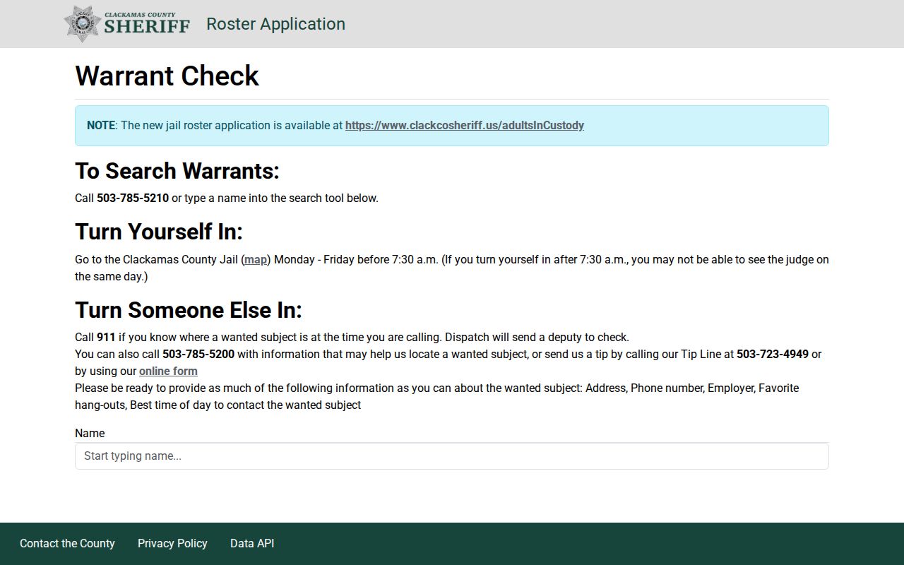
A record in that interface cannot be used to identify nearby households or justify unwanted contact.
Lawful use. Use Clackamas County neighbor records for personal research, civic awareness, property context, or reconnection. Do not use a record to stalk, harass, intimidate, impersonate, or expose a protected person.