
Clackamas County ZIP Delivery Footprint
The best countywide baseline is the complete set of 2020 Census ZIP Code Tabulation Areas, or ZCTAs, that have a land or water relationship to Clackamas County. It is a statistical relationship, not a claim that every listed code is wholly in the county or is a current post-office delivery area. The table retains that limit. For an actual mailing address, verify with USPS; for the public office with jurisdiction, use CMap after the delivery check.
| ZIP Code / ZCTA | County-side area | Post office or delivery context | Research note |
|---|---|---|---|
| 97002 | Southern county edge, Aurora-area overlap | Verify exact delivery with USPS | Cross-county area possible |
| 97004 | Beavercreek area | Address-specific USPS check | Not a municipal boundary |
| 97009 | Boring area | Address-specific USPS check | County-side ZCTA relationship |
| 97011 | Mount Hood corridor / Brightwood context | Verify delivery point | County-side ZCTA relationship |
| 97013 | Canby area | Postal Canby label | May be unincorporated county |
| 97015 | Clackamas / north county | Address-specific USPS check | County-side ZCTA relationship |
| 97017 | Colton area | Address-specific USPS check | County-side ZCTA relationship |
| 97019 | County edge | Verify delivery point | Do not assume countywide coverage |
| 97022 | Eagle Creek area | Address-specific USPS check | County-side ZCTA relationship |
| 97023 | Estacada area | Address-specific USPS check | County-side ZCTA relationship |
| 97027 | Gladstone area | Address-specific USPS check | County-side ZCTA relationship |
| 97028, 97031, 97032 | Mount Hood or county-edge areas | Verify exact delivery | Partial county relationship possible |
| 97034, 97035 | Lake Oswego county-side area | Address-specific USPS check | City and ZIP lines may differ |
| 97038 | Molalla area | Address-specific USPS check | County-side ZCTA relationship |
| 97041, 97049 | County-edge overlaps | Verify exact delivery | Partial county relationship possible |
| 97042 | Mulino area | Address-specific USPS check | County-side ZCTA relationship |
| 97045 | Oregon City area | Oregon City Post Office listing: 97045-0821 | Use USPS for ZIP+4 |
| 97055 | Sandy area | Address-specific USPS check | County-side ZCTA relationship |
| 97062 | County edge | Verify exact delivery | Partial county relationship possible |
| 97067 | Mount Hood / Rhododendron context | Address-specific USPS check | County-side ZCTA relationship |
| 97068 | West Linn area | Address-specific USPS check | County-side ZCTA relationship |
| 97070 | Wilsonville county-side area | Verify parcel jurisdiction | City crosses county geography |
| 97071, 97132, 97140 | County-edge overlaps | Verify exact delivery | Partial county relationship possible |
| 97080 | Gresham-area edge | Address-specific USPS check | Very small county relationship |
| 97086 | Happy Valley / southeast Portland context | Address-specific USPS check | County-side ZCTA relationship |
| 97089 | Damascus-area context | Use address or taxlot | Former city is not a CMap City option |
| 97202, 97206, 97219 | Portland-area edges | Address-specific USPS check | Do not treat city label as county ownership |
| 97222 | Milwaukie / north county | Address-specific USPS check | County-side ZCTA relationship |
| 97223, 97224, 97236, 97266 | Portland-area edges | Verify exact delivery | City and ZIP do not settle jurisdiction |
| 97267 | Oak Grove / north county | Address-specific USPS check | County-side ZCTA relationship |
| 97358, 97362, 97375, 97381 | County-edge overlaps | Verify exact delivery | Partial county relationship possible |
Census TIGERweb's county and ZCTA intersection source supplies this county relationship view.
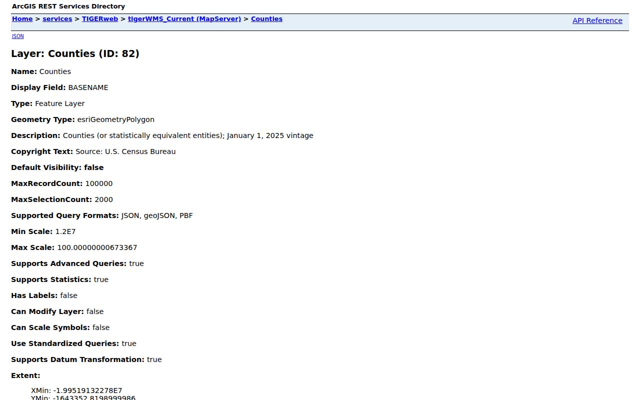
The map is useful for broad geography. It is not a promise about a particular delivery address or post-office service area.
Clackamas County ZIP and ZCTA Difference
USPS ZIP Codes are delivery-route information. Census ZCTAs are generalized polygons made from 2020 Census blocks for mapping and statistics. A valid ZIP can lack a ZCTA, and a ZCTA can represent mixed delivery, a single institution or organization, a PO-box-only code, or noncontiguous geography. That distinction prevents a common mistake: a ZIP Code is not a resident directory and a ZCTA is not a municipal boundary.
The Census 2020 ZCTA layer shows the statistical layer used in the county coverage work.
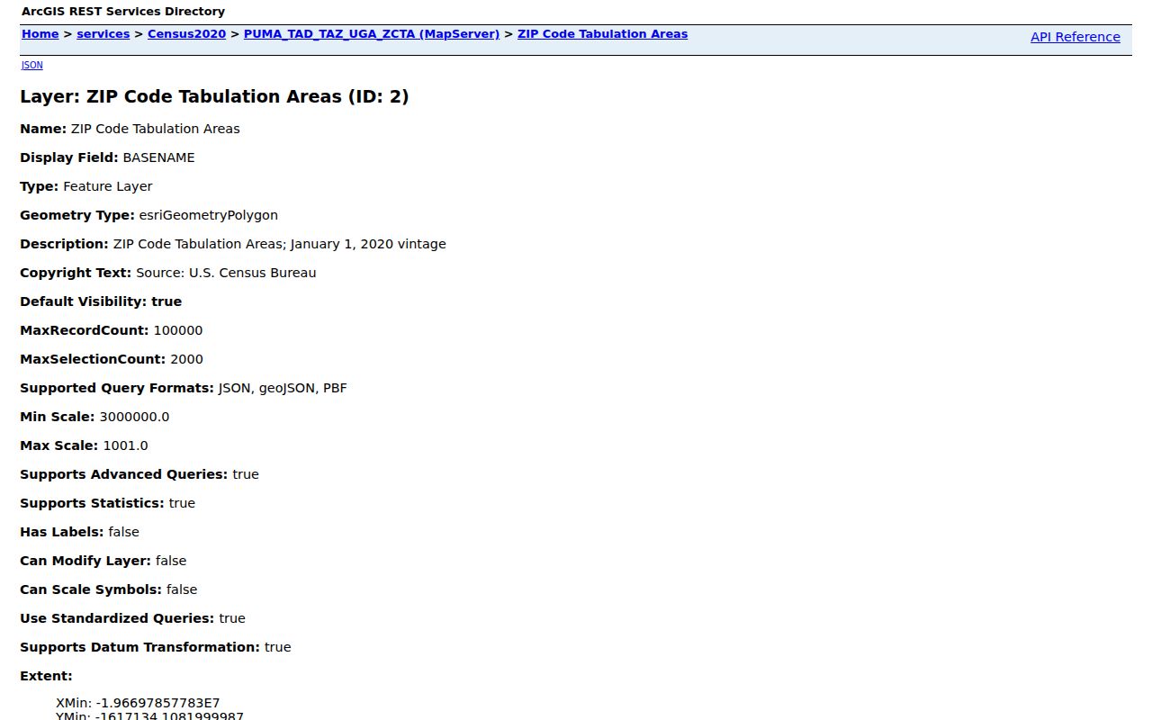
The layer helps compare broad areas, while USPS remains the delivery authority for one full address.
Check a Clackamas County ZIP First
Use the USPS ZIP Code Lookup with a full street address when delivery ZIP and ZIP+4 matter. A city-and-state search can help when an address is incomplete. USPS cautions that its result does not confirm that a particular person or organization is at the address. It validates mail geography only.
The USPS lookup's city-and-state route is shown in the official source below.
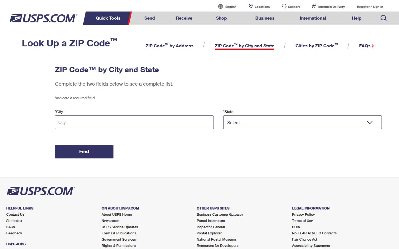
After USPS returns the mailing code, place the same address in CMap for parcel, taxlot, and jurisdiction context. The two tools answer different questions.
Clackamas County ZIP Property Fields
AscendWeb gives the county's clearest verified ZIP-capable property field. Street Address is required in its Property Address Search. City, State/Province, and Zip/Postal Code are optional. The address field supports a percent sign between a number and street name, such as 123% Main. Its Account Number and Alternate Map Account Number route requires exactly eight digits.
| AscendWeb field | Type | ZIP search role |
|---|---|---|
| Street Address | Text | Required base for an address search |
| City | Text | Optional refinement |
| State/Province | Text or selection | Optional refinement |
| Zip/Postal Code | Text | Optional refinement, not an all-people report |
| Account Number | Text | Alternate eight-digit property route |
The county Ascend address screen displays the City, State/Province, and ZIP refinements alongside the street-address route.
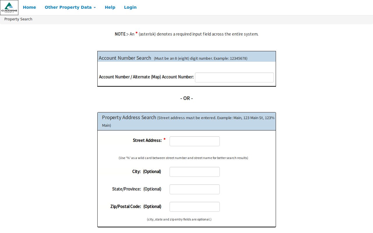
A responsive property result supports tax and parcel context. For owner information absent from public CMap, contact Assessment & Taxation at 503-655-8671 or propertytaxinfo@clackamas.us.
Find Clackamas County Records by ZIP
A ZIP narrows an address workflow; it does not create a countywide current-resident list. The defensible sequence combines the delivery result, CMap's Jurisdiction group, Ascend's optional ZIP field, and the custodian for the particular record. Once the work narrows to one named road or parcel, the Clackamas County street directory workflow follows the address through CMap, Assessment & Taxation, Recording, and the correct permit office.
- Enter the full address in USPS Zip Lookup and retain the returned delivery ZIP or ZIP+4.
- Search the same address in CMap to identify parcel or taxlot context and the city or county jurisdiction.
- Use Ascend's optional Zip/Postal Code field to refine the property address search, then use Assessment & Taxation or Recording for the needed record layer.
- For a voter-file subset, use the lawful county or state request route and accept its signed-request, fee, delivery, and use conditions.
County tools deliberately separate geography from person-facing information. CMap can return a mapped address, assessment context, voting precinct, zoning or development setting, service districts, hazards, surveys, and tax maps, but it does not publish owner names online. After a ZIP and address point to a parcel, Assessment & Taxation is the county’s stated route for an owner-information question. A tax statement or office response can also distinguish a mailing address from the physical situs address, so neither should be assumed to describe who is currently present at the location.
Jurisdiction still decides the next record holder. County Planning’s Accela portal is the route for unincorporated Clackamas County building, code-enforcement, engineering, planning, and septic records after January 1, 2016. An address inside Oregon City, West Linn, Milwaukie, Happy Valley, or another municipality needs that city’s record route instead. If a specific county document is unavailable through the correct portal or counter, Records Management accepts a focused Oregon Public Records Law request. State the address, time range, department, and record type so the county can locate an existing record and explain any applicable cost or access limit.
Keep the USPS result date with the research notes. Mailing routes, postal labels, and Census geography do not share the same update cycle.
Clackamas County ZIP Voter Requests
The Clackamas County Elections price-list route says voter-data orders can be filtered by district, precinct, party, age, ZIP, motivated voter, military voter, or long-term voter. This is a request process, not a use of an individual voter's My Vote account. Oregon's My Vote is only for a voter to check or update that person's own registration.
The county election-data order page documents the ZIP-filter context.
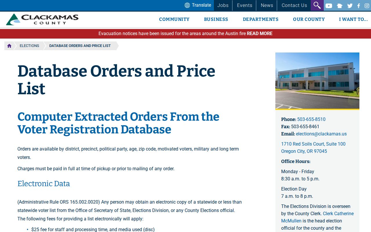
The county form requests a signature, contact details, report and geography choices, and delivery selection. Its products include walking lists, registered-voter lists, voter history, and active-election reports. Protected-address and confidential records remain excluded, even where a product would otherwise list an address.
Lawful use. Request voter data only through the official signed process and follow its use restrictions. Do not use ZIP-filtered records to stalk, harass, intimidate, or harm anyone.
Clackamas County ZIP Labels That Persist
A mailing label can survive a jurisdiction change. CMap's City search does not offer Damascus because it is no longer a city, so a former Damascus-area address may need an address, parcel, taxlot, legal-description, or cross-street search instead. The same care applies near city edges and rural postal labels. A ZIP field can refine a query but cannot select the right records office by itself.
Note: CMap's Jurisdiction result group is the first county check when a postal city name and public-records custodian do not match.
Clackamas County ZIP and City Limits
Canby gives the county's clearest local warning: a rural mailing address using the name Canby can still be in unincorporated county territory. USPS settles the delivery question, CMap identifies the parcel and jurisdiction context, and the city or county office determines record custody. A ZIP also does not establish the legal boundary of a parcel.
- ZIP Code
- A USPS delivery-route construct used for mail routing.
- ZIP+4
- An added delivery segment that USPS returns for a specific address when applicable.
- PO-box ZIP
- A valid ZIP associated with post-office boxes, which may not map like street delivery.
- Unique ZIP
- A ZIP associated with one institution or organization rather than a broad place area.
- Carrier route
- A delivery grouping within postal operations, not a city boundary or public household list.
- ZCTA
- A Census geographic approximation used for statistics and mapping, not a USPS service promise.