
Clackamas County Previous Resident Sources
Previous residents of a Clackamas County address are not found in one official list. The title chain can identify land owners or other formal parties, but it does not name every occupant. Tax rolls supply owner or taxpayer-era information. A telephone book or directory can offer a dated household or address snapshot only when the relevant volume survives. Census schedules identify a household on their census date. Vital, obituary, and probate material can explain a name change, subject to record restrictions. The useful result is a timeline that shifts to the custodian whose records fit the period.
| Source layer | Years it covers | Where held | What it can show |
|---|---|---|---|
| Recording title records | Underlying trail reaches the early 1850s; online cutoff not verified | Clerk Recording public research area, microfilm, and computer images | Recorded interests, parties, legal descriptions, and instrument references |
| Territorial assessment rolls | 1850-1859 | State Archives provisional guide and microfilm | Taxpayer, values, town, block or lot, taxes, and assessor |
| Historical tax rolls and ownership books | 1850, 1852, 1860-71, 1879-89, 1901-05, 1910, 1915, 1920, 1922-25, and 1930-39 series | County Archives and Museum of the Oregon Territory as identified by the Archives guide | Owner or taxpayer-era evidence, often ordered by map, town, block, or lot |
| Directory and telephone leads | Oregon City telephone directory, August 1932; rural directory, 1936 | Library catalog and historic-property research leads | Dated local household or address reference, if the volume can be consulted |
| Federal census | Released schedules currently through 1950 | National Archives, Census, and library genealogy routes | Household composition on the census date |
Begin with CMap to normalize an address, identify jurisdiction, and record account, parcel, taxlot, or map clues. CMap deliberately does not show owner names online. Assessment & Taxation, Recording, library collections, and Archives holdings each answer a different part of the history.
Clackamas County Deed Index Years
The State Archives inventory gives the precise index windows behind a Clackamas County previous-residents search. The Direct Deed Index covers 1851 through 1969 in 43 microfilm reels. The Indirect Deed Index covers 1851 through 1972. Electronically indexed and imaged Recording Office instruments begin in 1989, while the deed-record series spans 1850 through 2000. These overlapping paths are useful at the counter, but none should be described as a continuous public web search. The county’s broad statement that ownership can be traced to the early 1850s refers to custody and research reach, not a promise of online images.
The Clackamas County Clerk Recording Division maintains a public research-and-copying area at 1710 Red Soils Court, Suite 110, Oregon City. It can be reached at 503-655-8551 or recording@clackamas.us. Bring the party name and legal-description or instrument information, not only a modern address. The county says current recordings are indexed within two business days. The requested-copy fee is $3.75 plus 25 cents for the first page and 25 cents for each additional page; certification is $3.75. Recording fees for filing an instrument are separate from research-copy fees.
For a county-held item not otherwise available, use the Records Management request route with the address, date range, department, record type, and desired delivery form. Oregon Public Records Law, including ORS 192.324, governs acknowledgment, response, and permitted fees. The county routes a targeted request; it does not guarantee that a record is public or free. Mailing a document to Recording is a different process: its standards call for a self-addressed stamped envelope, not a substitute for the research counter.
Note: The Recording counter is the documented fallback when an index year or image is not available through a public-facing web route.
Trace Clackamas County Deed Parties
A defensible deed chain starts with the parcel, not a name-only search. A situs address is the map location. A tax account or parcel number is the assessment identifier. A legal description is the lot and block, subdivision, metes-and-bounds language, or earlier instrument reference used in the formal land record. The Recording Standards require a legal description or prior recorded-deed reference; a taxlot or account number alone is not sufficient. This bridge matters when a historic instrument uses a different address or no street address at all.
- Use CMap to record the current standardized address, jurisdiction, tax account or taxlot context, and map or plat clues.
- Contact Assessment & Taxation at 503-655-8671 or propertytaxinfo@clackamas.us for the owner-information route that CMap suppresses online.
- At the Recording public research area, locate the conveyance into the current owner using a party name, legal description, or instrument reference.
- Copy the grantor, grantee, recording date, instrument or book and page, legal description, and related plat or release details shown in the record.
- Use the prior grantor as the candidate earlier grantee, then repeat with the same legal description until the chain changes or the counter directs the search to microfilm or Archives holdings.
- Grantor
- The person or entity transferring an interest in a recorded instrument.
- Grantee
- The person or entity receiving that recorded interest.
- Chain of title
- The sequence of recorded ownership or interest transfers tied to the same legal description.
- Legal description
- The formal property identity in a deed, more stable than a mailing-style address when streets or jurisdictions change.
Deeds identify formal parties. They do not by themselves prove that a party lived at the property, and they cannot provide a complete list of everyone who was there.
Clackamas County Old Address Bridges
Clackamas County crosses many municipal addressing systems and rural routes, so a postal city is not proof of jurisdiction. CMap’s Jurisdiction group is the first check. The map’s City mode also does not return Damascus because Damascus is no longer a city. When an older city label fails in a modern selector, search by address, taxlot, legal description, old plat or addition name, township and range, cross streets, and a surrounding municipality. Do not assume that changing a street suffix resolves the problem.
A verified Oregon City historic-property record says that 503 High Street was renumbered in 1916. That is a source clue for that property, not a countywide renumbering rule. Modern CMap imagery reaches only to 2008. Older physical or address continuity needs the legal description, tax roll, plat, Sanborn map, or another record tied to the specific property.
Permit files can date a construction or land-use event, but an applicant is not necessarily an owner or past resident. For unincorporated Clackamas County, the Planning Accela portal covers Building, Code Enforcement, Engineering, Planning, and Septic records after January 1, 2016. The older Document Retriever searches Permit Number, Address, or Taxlot and returns Permit Number, Address, Taxlot, Applicant, and Actions; its data are not wholly digitized and should be verified with DTDRecords@clackamas.us or 503-742-4240. For incorporated addresses, use the CMap jurisdiction result, then the city’s own record route. Oregon City reports public final and current permit lookup back to 2002.
This geography point is practical: a rural Canby postal address can be in unincorporated county jurisdiction, and an Oregon City historic address may need a different city or county custodian than a modern map label suggests.
Clackamas County Tax Roll Layers
Tax rolls are the bridge between deed parties and a longer property timeline. Territorial assessment rolls from 1850 through 1859 show taxpayer name, property values, town, block or lot, taxes, and assessor; the 1852 roll adds poll tax and property categories. The territorial census rolls run from 1854 through 1857, though the 1854 record has totals only. The Plat Index, 1849 through 1859, records a filer, addition or city, and plat-book volume and page. Together, those layers can identify an earlier subdivision or town description before a later street address existed.
The county inventory also lists land ownership books and chronological deeds from about 1966 through 2000, plus the older tax-roll series. Use the archival ordering, map, town, block, lot, or legal-description clues to test whether two dated references describe the same property. A taxpayer is a record-specific label, not an automatic statement about household membership.
The Wilmer Gardner Family History Research Library at the Museum of the Oregon Territory is a local route for books, microfilm, maps, family files, local burial and obituary material, and donated histories. Confirm access, hours, and copying conditions before visiting.
The library source provides a Clackamas County previous-residents route beyond the modern county offices.
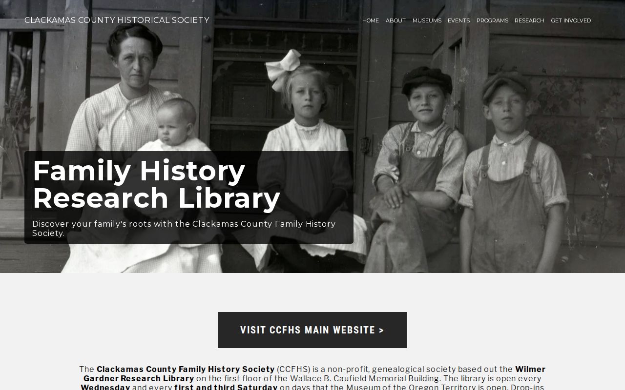
Library holdings can supply the context needed to interpret a tax-roll or directory name, but the underlying record still needs its own date and citation.
Clackamas County Sanborn and Aerials
Physical-change records add a Clackamas County story to an address trail. The State Archives inventory identifies Oregon City Sanborn fire-insurance maps for 1911 in two volumes and 1925 in four volumes. It also lists county aerials for 1948, 1961, 1964, and 1976. These dates reach much farther back than CMap’s online imagery. A Sanborn sheet or aerial can help compare a building footprint, block, subdivision, or surrounding streets with the legal description and the time of a deed, tax-roll, census, or directory entry.
The Clackamas County Historical Society collection offers more than 10,000 digitized photographs and supports quoted-phrase, plus, and asterisk searching. A photograph is contextual evidence, not proof of a person’s identity or presence at an address. Preserve the image metadata and check it against a map, directory, tax record, or contemporaneous newspaper.
The Historical Society collection is a Clackamas County previous-residents source for neighborhood and property context.
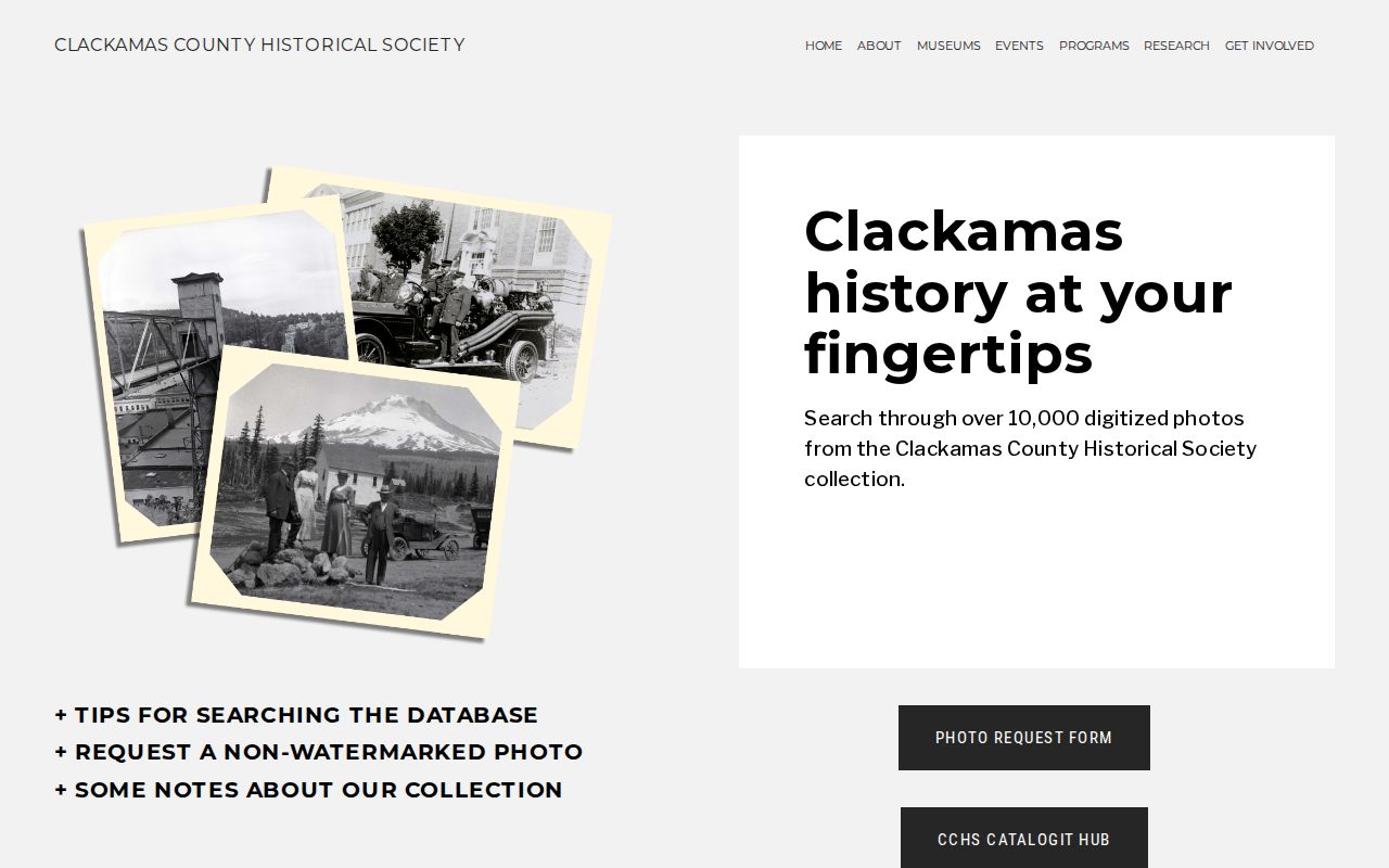
Compare the source date, the address form, and the building or block context. A visual match is a research lead that needs a separate named-record check.
Clackamas County Household Evidence
The household layer needs a second track after the deed chain. Use a directory or telephone book only for a year and locality it actually covers, then pair the result with the nearest released federal census schedule and an appropriate tax-roll or assessment layer. The 1932 Oregon City telephone directory and the 1936 rural directory are specific leads, not evidence of an uninterrupted city or rural series. Oregon City High School yearbooks from 1910 can add community context, not an address. For collection leads and entry-reading practice, use the Clackamas County city directory resources; the historical volumes do not replace the backward property chain.
For historical life events, consult the State Archives vital-record route and OHRI. Marriage microfilm covers 1853 through 1948, while OHRI date ranges vary by record type, including estates from 1844 through 1907 and naturalizations from 1887 through 1931. Certified records remain subject to their access rules. A death, estate, marriage, divorce, or probate reference may explain why a name leaves a dated household source.
The State Archives vital-record page identifies a Clackamas County previous-residents route for historical event evidence.
Use the household flow: address or legal description → parcel context → deed party → dated directory → census-date household → event or probate source.
Lawful use. Use Clackamas County address history for family history, estate research, property-document verification, civic research, or personal safety. Do not use a dated record to harass, stalk, or target anyone.
Territorial Clackamas County Record Trail
Clackamas County was established in 1843 and reached its present boundaries in 1854. The early district covered areas later assigned elsewhere, so a land, probate, tax, or census record can use a territorial or changing geographic label. Capture the locality as written, then compare it with the historic boundary and the property’s legal-description trail. This is often more useful than rejecting a record because a modern county or city name is absent.
The county’s official geography and history overview supplies the local context for those boundary changes and for Oregon City’s county-seat role. It reinforces why an old address may need county, city, library, and Archives routes instead of one imagined office.
The county history source grounds Clackamas County previous-residents research in territorial and changing-boundary context.
Keep the record’s original place name beside every date. It makes later comparisons with plats, tax rolls, directories, and maps far more reliable.
Note: A historic address trail can end when records are closed, absent, or unrelated to an address, and that limit should be recorded rather than guessed past.